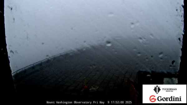
Flood Warning FLOOD WARNING - Jones County

spacer
Updated: @ Jun-21-2026 3:40am - next update at 3:45am  
Summary / Temperature Wind Rain Outlook
Fog, Overcast Fog, Overcast
Currently: 72.4, Max: 73.7, Min: 72.2 72.4°F
Colder 0.2°F than last hour.

Comfortable

Feels like: 72°F

24-hr difference
-0.8°FColder 0.8°F than yesterday at this time.
  Today Yesterday
High: 73.7°F
12:00am
81.8°F
4:55pm
Low: 72.2°F
3:30am
72.1°F
12:35pm
 Calm N
0
Gust:
0 mph
0 Bft - Calm
Today: 0 mph 12:00am
Gust Month: 29.0 mph June 19
Rain Today: 0 in
Rain Rate (/hr): 0 in
Rain Yesterday: 1.24 in
This Month: 7.17 in
Season Total: 34.37 in
1 day since last rain.
Evapotranspiration
Today: 0.036 in
Sunday

Sunday: Areas Of Fog then Chance Showers And Thunderstorms
Areas Of Fog then Chance Showers And T-Storms
Humidity & Barometer Almanac Moon
Humidity: 6 %  
Dew Point: 1.4°F Decreased 0.5°F since last hour.
Barometer: 29.951 inHg  
1014.3 hPa
Baro Trend: Steady
Sunrise: 5:51am
Sunset: 8:06pm
Moonset: 12:29am
Moonrise: 12:52pm
Waxing Crescent
Waxing Crescent, Moon at 7 days in cycle
44%
Illuminated
UV Index Solar Radiation
   0.0    None
High: 0.0 @ 12:00am
316 W/m2
High: 318 @  12:00am
Battery: 4.09v   TX Battery Status: 1-ok 2-ok 3-ok 4-ok 5-ok 6-ok 7-ok 8-ok
 NWS Weather Forecast  - Outlook: Overnight & Sunday
Overnight

Overnight: Areas Of Fog
Areas Of Fog

Lo 73 °F
NWS forecast: Areas of fog and a slight chance of showers and thunderstorms between 3am and 5am, then areas of fog and a chance of showers and thunderstorms. Partly cloudy, with a low around 73. Southeast wind around 0 mph. Chance of precipitation is 30%. New rainfall amounts less than a tenth of an inch possible.
Davis VP+ forecast: Increasing clouds with little temperature change.
 
Sunday

Sunday: Areas Of Fog then Chance Showers And Thunderstorms
Areas Of Fog then Chance Showers And T-Storms

Hi 89 °F
NWS forecast: Areas of fog and showers and thunderstorms likely before noon, then a chance of showers and thunderstorms. Mostly sunny, with a high near 89. Heat index values as high as 99. South southwest wind 0 to 10 mph, with gusts as high as 20 mph. Chance of precipitation is 60%. New rainfall amounts between a tenth and quarter of an inch possible.
Overnight

Overnight: Areas Of Fog
Areas Of Fog
Sunday

Sunday: Areas Of Fog then Chance Showers And Thunderstorms
Areas Of Fog then Chance Showers And T-Storms
Sunday
Night
Sunday Night: Partly Cloudy
Partly Cloudy
Monday

Monday: Mostly Sunny
Mostly Sunny
Monday
Night
Monday Night: Slight Chance Showers And Thunderstorms
Slight Chance Showers And T-Storms
Tuesday

Tuesday: Mostly Sunny then Slight Chance Showers And Thunderstorms
Mostly Sunny then Slight Chance Showers And T-Storms
Tuesday
Night
Tuesday Night: Slight Chance Showers And Thunderstorms
Slight Chance Showers And T-Storms
Wednesday

Wednesday: Chance Showers And Thunderstorms then Showers And Thunderstorms Likely
Chance Showers And T-Storms then Showers And T-Storms Likely
Wednesday
Night
Wednesday Night: Showers And Thunderstorms Likely
Showers And T-Storms Likely
Lo 73 °FHi 89 °FLo 76 °FHi 93 °FLo 75 °FHi 92 °FLo 73 °FHi 89 °FLo 72 °F

Elapsed Time: 0.00420 Seconds